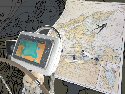
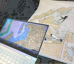
Using Nautical Charts
$34.95
Whether you use electronic or paper charts, learn how to read them and gain the confidence for a fun and safe day on the water. Explore the symbols for aids to navigation and for features above and below the water. Learn how to read latitude and longitude, use a compass rose and plan a safe course. What's included?
- Differences between electronic and paper charts
- What charts show navigators above the water
- Chart information and scales
- What charts show navigators below the water
- Aids to navigation
- Latitude and longitude
- Compass rose
- Planning your route
Boat Operator Certification
This seminar is required for the Boat Operator Certification level of Inland Navigator (IN)


 525x393.png)