How to Use GPS - 2024
$34.95
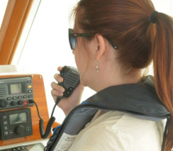
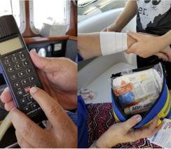
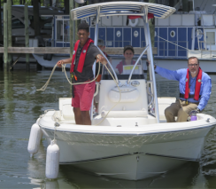
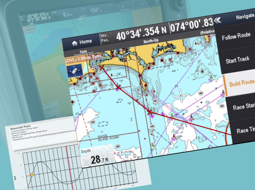
If you missed the earlier version of How to Use GPS, be sure to catch this new, fully updated one. And don’t fool yourself: while nearly everybody uses GPS in the car or on a smartphone, marine GPS is a different animal. You’ll learn how to choose a suitable GPS chartplotter if your boat doesn’t already have one. More important, you’ll learn how to make the best use of it -- how to create waypoints, build and execute routes, and monitor your progress along the way. And there’s more! The seminar will explain how modern GPS chartplotters integrate with other electronic systems onboard, including VHF marine radio, radar, and autopilot. Your GPS will tell you where you are and how to find your destination. Start learning how to use your GPS today!
Boat Operator Certification
This seminar is required for the Boat Operator Certification level of Inland Navigator (IN)