Ocean Currents and Computer Navigation − Webinar
$34.95
Ocean Currents and Computer Navigation is available as a stand-alone webinar and is also included in the BOC - Offshore Navigator Package
Take a deep-dive into tidal and ocean currents effect on navigation planning and underway decisions. You'll also learn how to use navigation software that includes the effect of current on your route.
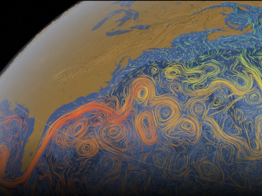
After a brief history and an overview of current research, you'll learn how currents affect the movement of our oceans, including where to find and how to retrieve tidal current and open ocean current data.
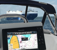
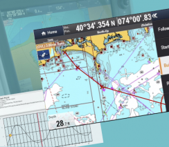
You'll learn how to use navigation software before and during a cruise to evaluate what effect the current will have on your route. You’ll learn about software that can retrieve and use Real-Time Ocean Forecast System (RTOFS) current data, featuring demonstrations of OpenCPN and TIMEZERO TZ Navigator software.
Part I
- Physical oceanographic basics
- The major wind-driven ocean surface currents
- Factors facilitating these currents
Part II
- Weather
- Wind, Sea State, and Current
- Forecasting Models
Part III
- Weather Information Sources
- Route Planning Methods
- Types of Ocean Currents
- Navigation Software
This webinar is required for the Boat Operator Certification level of Offshore Navigator (ON).
Originally broadcast: 11/14/2017
Duration: 1 hr 44m
 525x393.png)