Marine Weather Forecasting: the 500 millibar Chart – Seminar
$34.95
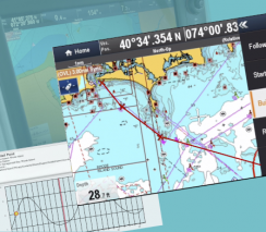
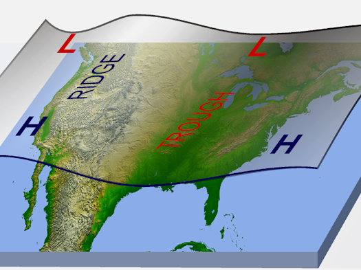
Weather forecasting is critical for boaters heading offshore. This seminar covers how to use the 500 millibar upper-air chart to forecast your weather including when and where large storms will develop and how they will move. Topics covered in this seminar include:
- upper-level wind speed and direction,
- trough and ridge patterns,
- airflow patterns associated with foul, fair, and persistent weather, and
- the 5640 storm track line—a guide for passage makers.
You’ll also learn about the latest National Weather Service marine forecasting tools for the Great Lakes, offshore zones, and high seas. You will gain insights from Daren Figursky of NOAA and questions and answers from the original webinar.