Introduction to Navigation - Seminar
$34.95
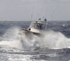
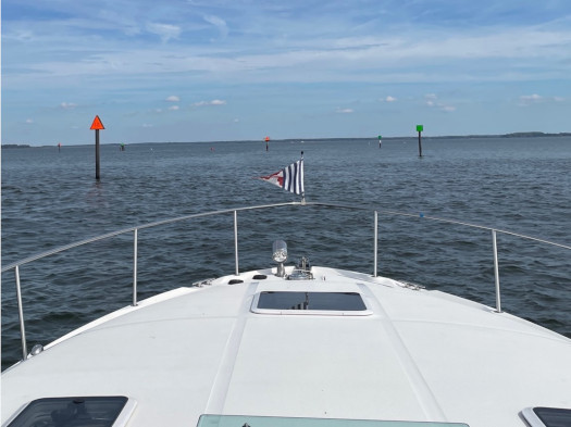
Navigating roadways and waterways is not the same. If you’re comfortable using GPS for car trips, don’t assume you’re automatically ready to use GPS on a boat. This seminar will help you learn some of the differences. You’ll get an overview of how to use electronic (and even paper) charts to plan a safe route with waypoints, how to navigate along the route, and how to check underway that you’re on course. Topics include:
- Understanding nautical charts
- The compass rose and magnetic variation
- Interpreting aids to navigation
- Establishing waypoints and planning routes
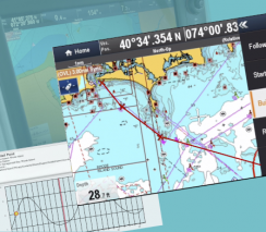
- Using chartplotters and multifunction displays
- Planning your voyage electronically
- Electronic navigation while underway
- What to do when the chartplotter quits working